





Geography Locked in Your Head
When you close Dracula, Jonathan Harker’s bone-rattling coach ride to the Borgo Pass disappears with the final page. The Pequod’s route through the North Atlantic, Phileas Fogg’s railway timetables, Odysseus’s actual crossing of the Aegean – all of it evaporates. Aires Loutsaris, a UK-based SEO consultant who spends his evenings doing something considerably more interesting than keyword research, built a free interactive atlas called Reading Maps specifically because he found that loss intolerable.
The site now holds more than a thousand documented literary journeys – plotted, sequenced, and searchable – covering everything from intercontinental migration epics to the radius of a single London afternoon. Users can filter by mode of travel (overland, sea) and by type of journey (survival, exile, coming of age). They can also submit requests. Road trips are in there. So are emigration sagas. So, apparently, is Mrs. Dalloway’s walk across Westminster.
How a Map Gets Made
Loutsaris developed the atlas alongside site developer Fabio Moreira. The map-making process starts with close reading: Loutsaris works through a text tracking stations and sequence before cross-referencing his speculative coordinates against existing high-resolution maps. That methodical approach holds even when a novel’s setting doesn’t technically exist. For Italo Calvino’s Invisible Cities – a book composed entirely of imaginary urban spaces described to Kublai Khan – Loutsaris anchors each hypothetical location to “the nearest real location” and flags it with an editorial note in the key. It’s a workable compromise between fidelity to the text and fidelity to actual geography.
The project is openly collaborative by design. Loutsaris invites readers to catch errors and flag gaps. Several did exactly that for his map of Hemingway’s A Moveable Feast, contributing corrections and additional sites. The atlas functions less like a finished reference work and more like a living document – one that expands based on who’s paying close enough attention.
Requests can come in for films as well as novels. Nothing, Loutsaris has said, is too niche or too strange to be worth plotting. That open-door approach has shaped the atlas’s character: canonical texts sit alongside more obscure choices, and the aggregate effect is something a straight literary timeline or reading list could never produce.
What Scale Does to a Story
Huck Finn’s Mississippi River journey runs 875 kilometers. That number means something different when you can drag a cursor along the actual route than when you’re absorbing it through prose. Maps compress information that fiction distributes across chapters and time – and that compression, it turns out, can reframe a narrative in ways that sentence-level reading doesn’t.
The Count Dracula example is instructive. Reading Dracula, you experience Harker’s overland coach journey to the castle in one register – slow, anxious, provincial. When the same map shows Dracula covering the return distance from Borgo Pass to Exeter by sea, the contrast between the two characters sharpens instantly. The undead man’s reach suddenly feels different when it’s rendered in nautical miles.
Where the Canon Clusters – and Where It Doesn’t
Loutsaris is interested in what the data, gathered across a thousand-plus routes, actually shows about the geography of literary imagination. “The aggregate view is the interesting part,” he said by email. “You can see where the canon clusters – the Mediterranean, the North Atlantic, the Silk Road – and the vast regions fiction has barely touched.”
The most requested map, by a significant margin, is The Odyssey. That’s not surprising – Homer has been generating sustained cultural interest in forms ranging from scholarship to courtroom drama – but it does underscore the canonical gravity the site is trying to push against. Yaa Gyasi’s Homegoing, with its multi-country, multi-generational emigration arc, is also in the database, as is Dave Eggers’ A Heartbreaking Work of Staggering Genius. The range is real, even if some texts get requested far more than others.
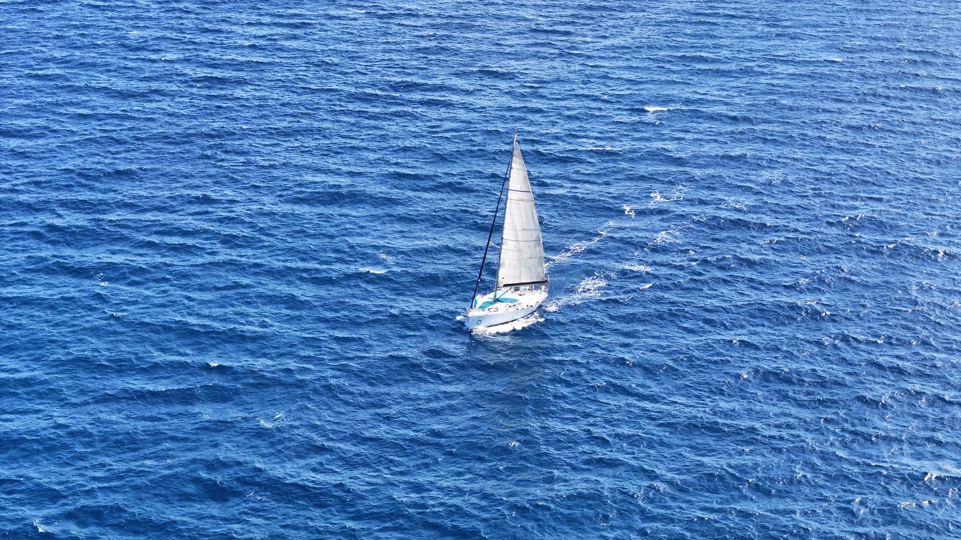
For his own part, Loutsaris’s personal favorite map on the site comes from Bernard Moitessier’s The Long Way, a 1970s maritime memoir. Moitessier was leading the first solo non-stop around-the-world race in 1969 when he chose not to finish. Rather than crossing the finish line, he kept sailing – past the end point, around the Cape of Good Hope a second time, and eventually on to Tahiti. On the Reading Maps version, that decision is rendered spatially: a route that refuses to stop where routes are supposed to stop.
The atlas is free. Loutsaris built it. And somewhere in its database, Moby Dick’s ocean crossings sit a few clicks away from Mrs. Dalloway’s walk to buy the flowers herself – both of them finally, concretely, measurable.