



A Lighter Forecast, But the Window Opens Monday
The 2025 Atlantic hurricane season officially begins June 1, and for once, the numbers lean in our favor – though Ken Graham, director of the National Weather Service, wants you to stop reading that as good news.
What the National Weather Service Is Actually Predicting
The National Weather Service forecast calls for eight to 14 named storms between June 1 and November 30. Of those, three to six are projected to reach hurricane strength, and one to three could intensify into major hurricanes – Category 3, 4, or 5 storms with sustained winds of 111 mph or greater. That’s the full range, and the low end of it would make this one of the quieter seasons in recent memory.
Context matters here. A statistically average Atlantic hurricane season produces 14 named storms, seven hurricanes, and three major hurricanes. The 2025 forecast sits meaningfully below each of those benchmarks – roughly half the typical hurricane count at the low end, and a major hurricane floor of just one storm if conditions stay suppressed through November.
What drives a below-average season? Sea surface temperatures, atmospheric wind shear, and large-scale climate patterns like La Nina or El Nino all interact in ways that either feed or starve developing tropical systems. A cooler-than-average Atlantic or stronger-than-normal wind shear aloft tends to inhibit storm formation before systems can organize. The National Weather Service has not issued a single-number “most likely” storm count the way some private forecasters do – the agency is publishing a range, which reflects genuine uncertainty in the modeling.
Graham’s public statement kept it short: “It just takes one.” That framing is deliberate. A below-average season with 8 named storms still only needs one of them to track toward a populated coastline at Category 4 strength to produce a catastrophe. Historical context backs that up – 1992’s Hurricane Andrew struck during what was ultimately a below-average season and caused what was then the costliest natural disaster in U.S. history.
Why Gadget-Dependent Households Face Specific Risks
Graham specifically called out June 1 as the moment to start hurricane preparedness planning, and for technology-dependent households – which is nearly all of us now – that means something more specific than buying bottled water. Power outages are the most immediate and predictable consequence of any landfalling hurricane, and the modern home runs on electricity in ways that weren’t true even 15 years ago. Medical devices, home security systems, EV charging, mesh Wi-Fi networks, smart locks, and refrigerated medications all go down together when the grid does.
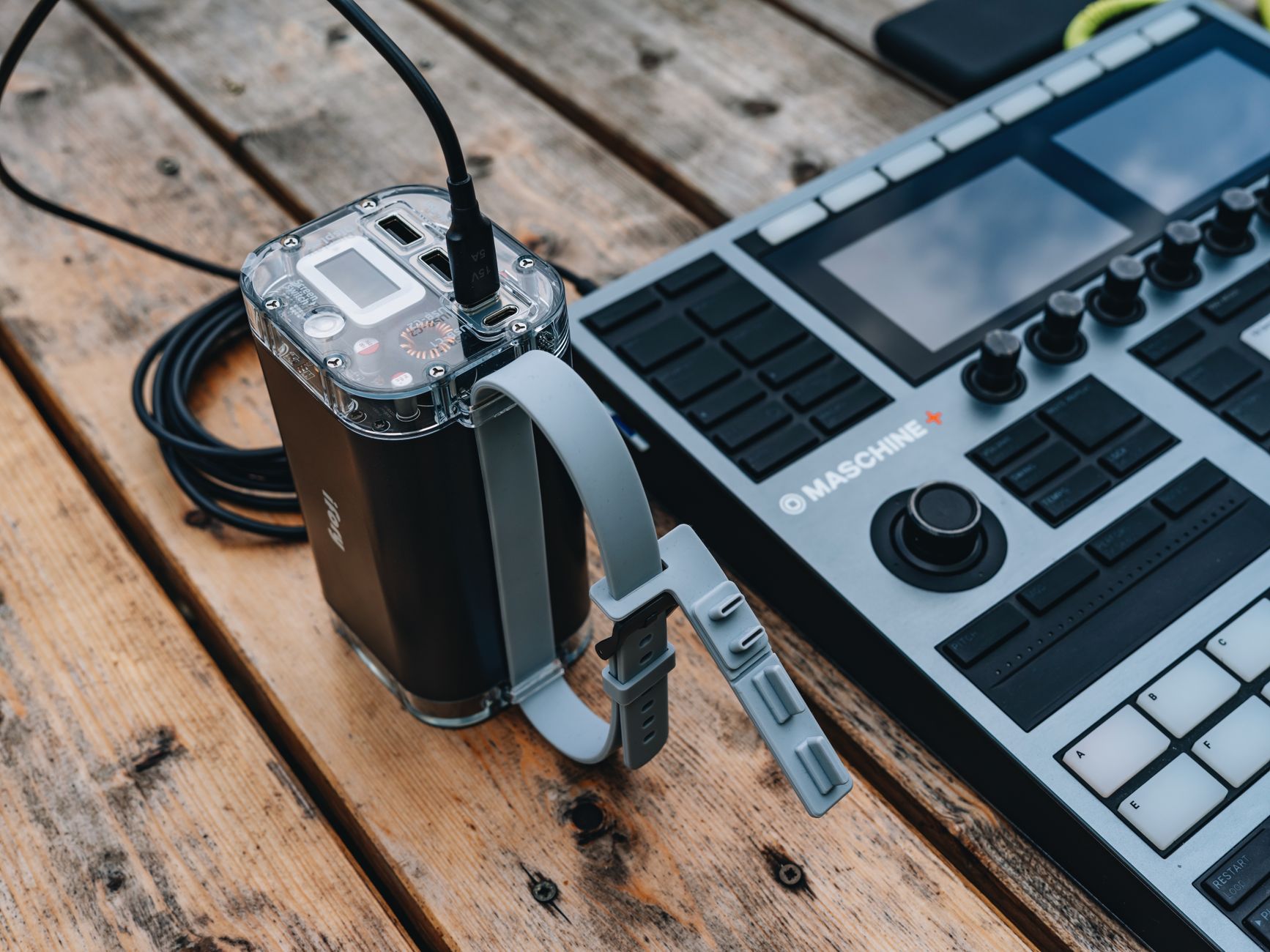
Portable power stations have become a serious category of consumer hardware over the past three years, and a major hurricane is exactly the scenario they’re designed for. Devices in the 1,000 to 2,000 watt-hour range can keep a refrigerator running for several hours, charge phones and laptops through multi-day outages, and power CPAP machines overnight. Unlike gasoline generators, they run indoors without carbon monoxide risk – a distinction that matters when hurricane conditions make outdoor use dangerous.
Satellite-based communication tools have also matured in ways that are directly relevant to storm season. When cell towers lose power or are physically damaged, cellular networks degrade fast in affected areas. Devices that route over low-earth-orbit satellite networks bypass that problem entirely, though they carry their own cost and coverage limitations depending on the provider and device tier.
Weather alert systems deserve a specific mention. Standard smartphone emergency alerts rely on broadcast infrastructure that can be compromised. A dedicated NOAA Weather Radio receiver operates independently of internet connectivity and cell service, pulling direct broadcasts from the National Weather Service. It’s low-tech by current standards, but its reliability floor is higher than most app-based alternatives precisely because it has fewer dependencies in the chain.
Home documentation is another area where preparation timing matters. Before a storm threatens, photographing or video-recording every room, every appliance, and every item of value stored on local drives and backed up to cloud storage creates an insurance record that is dramatically easier to use during a claim than memory or receipts. That task takes under an hour and is almost never done until after the need for it has passed.
The Forecast Gives You Time – Until It Doesn’t
The June 1 season start is a bureaucratic marker, not a meteorological wall. Storms have formed in May before, and the most active historical window runs from mid-August through mid-October – which means anyone who treats the below-average forecast as a reason to delay preparation until August is making a calendar math error. The National Weather Service’s season end date of November 30 is similarly a statistical boundary; late-season storms have formed in December.
Eight named storms at the low end of the 2025 forecast sounds manageable until you consider that the average season produces 14 – and even “average” seasons routinely include storms that nobody expected to strengthen when and where they did. The question Graham is really asking isn’t whether this season will be bad. It’s whether the one storm that does matter will find you ready.